RGB or multispectral drone for farming? What data you need before choosing
Before buying an agricultural drone, define what you want to observe, what result you need and who will interpret the data. That will help you decide whether an RGB camera is enough or multispectral would add value.
Key points
Choose a sensor based on the agronomic decision you want to make, not the advertised resolution. RGB may be enough for scouting and observing visible differences; multispectral adds bands and indices that require comparable captures and careful interpretation.
Start with the agronomic question, not the sensor
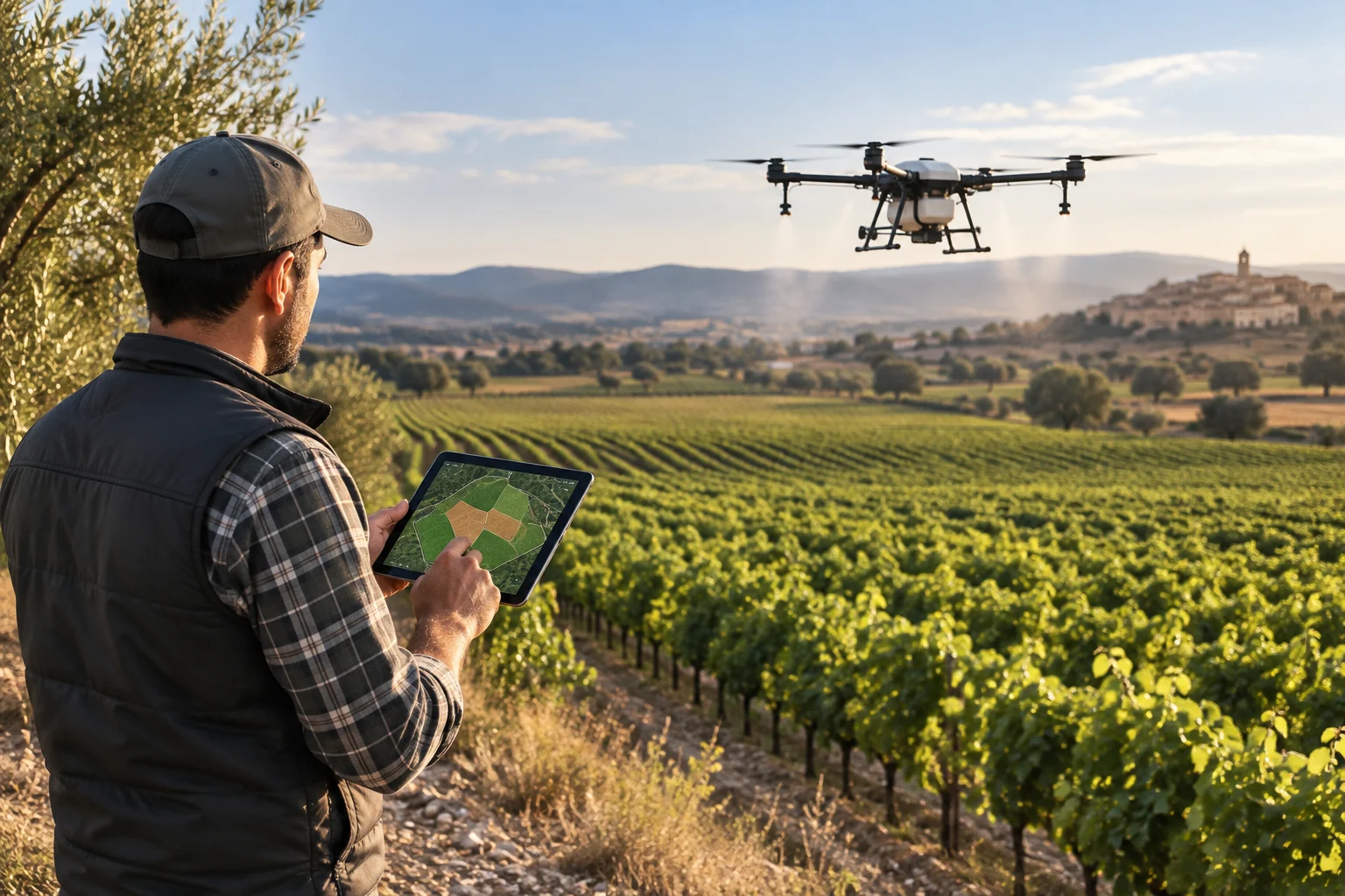
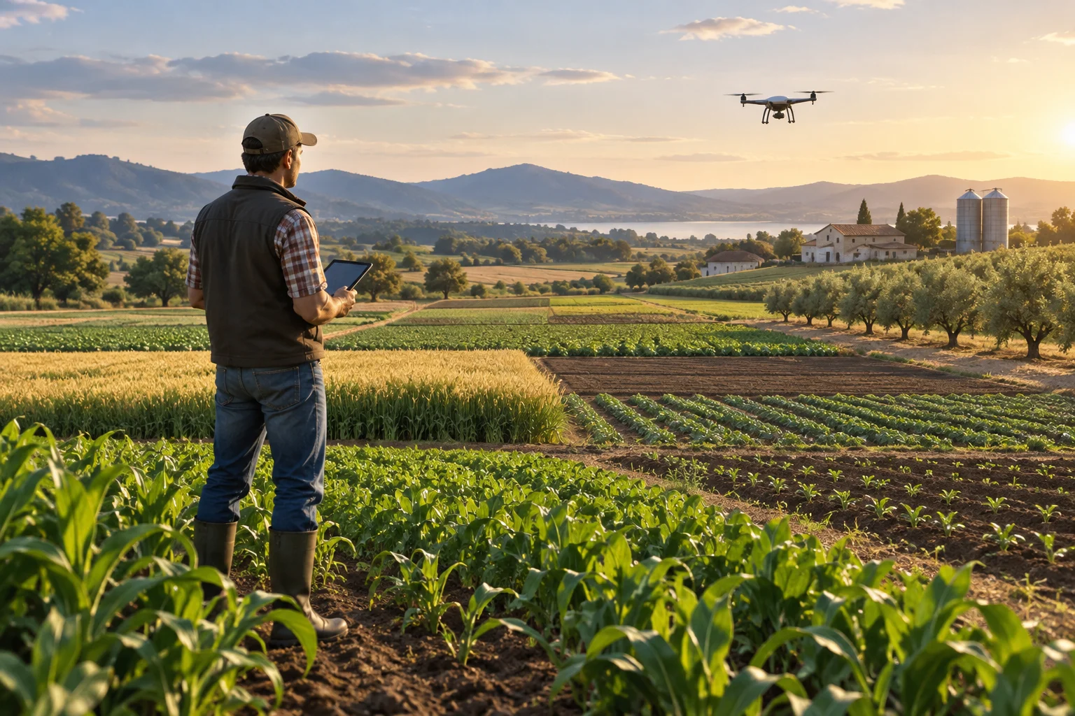
The choice between an RGB and a multispectral drone depends on what you want to find out and how you will use the results. If you want an aerial view to scout a crop and observe visible differences, an RGB camera may be enough. If you want to compare crop variations using selected bands, including bands beyond those recorded by an RGB camera where applicable, a multispectral camera may provide additional information; on its own, it does not turn an image into a diagnosis.
Before asking for prices, write down the decision you want to support: for example, which areas to inspect on the ground or whether an observed difference merits further checking. Also define what you would consider a useful result: an image, a georeferenced map, a report or a recommendation interpreted by an adviser. If you cannot explain how this data would change a decision, you may not yet have a specific need that justifies buying equipment.
Section references: Exploración de cultivos frutales con UAV ↗
- Which crop, field and point in the growing season do you want to observe?
- Do you need to distinguish boundaries and visible changes, or compare crop responses using additional bands?
- Who will check on the ground what the map suggests, and what will they do with that information?
RGB and multispectral: what each capture adds
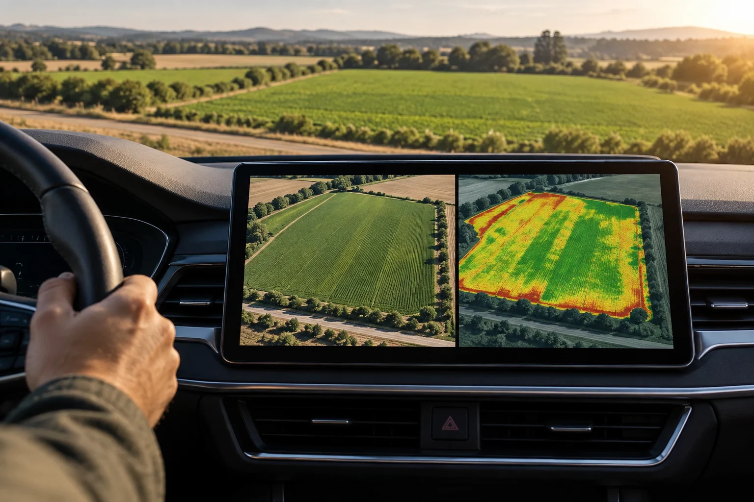
RGB images can support crop scouting and visual observation. A multispectral camera records selected additional bands and can be used to calculate vegetation indices from them. The real difference depends on the bands captured by the specific sensor: the drone’s name or a resolution figure alone is not enough to judge it.
As a product example, DJI specifies that the Mavic 3M has a 20-megapixel RGB camera and four multispectral bands: green, red, red edge and near-infrared. The resolution of these bands differs from that of the RGB camera. For this equipment, the documentation identifies indices such as NDVI, NDRE and GNDVI, calculated using multispectral bands. This is a specific example, not a rule that applies to every drone.
Indices are tools for representing and interpreting differences; they do not automatically identify an agronomic cause. A variation may help you decide where to inspect, but its meaning needs to be checked against the crop and capture conditions. One field study found that conditions could affect reflectance and index values, and that some indices did not show regular patterns for the variations observed.
| Option | Capture/data | When it may be suitable | Limitation to bear in mind |
|---|---|---|---|
| RGB | Visible colour | Visual scouting and observing apparent differences | It does not, by itself, record the additional bands of a multispectral sensor |
| Multispectral | Selected bands, which depend on the sensor | Calculating indices and comparing crop variations | An index does not automatically diagnose the cause of a difference |
Section references: Mavic 3M: especificaciones de las cámaras RGB y multiespectral ↗ · Mavic 3M: preguntas frecuentes sobre bandas espectrales ↗ · Evaluación de las condiciones de campo en imágenes e índices multiespectrales ↗ · Exploración de cultivos frutales con UAV ↗
- Ask for the sensor’s exact list of bands and the resolution of each one.
- Confirm which indices the workflow supports and which bands it uses to calculate them.
- Ask what conclusions can be drawn from the map and which aspects need inspection or agronomic advice.
Map quality depends on the entire process
The sensor is only one part of the result. Calibration, lighting, capture planning, processing and the experience of the person interpreting the final output also matter. If you plan to compare a field across dates, agree in advance on repeatable capture conditions and an assessment method; otherwise, changes in capture or processing can make comparisons more difficult.
Lighting deserves particular attention. MicaSense explains that an irradiance sensor can help compensate for overall changes in illumination, but it does not reliably correct for shadows caused by partial cloud cover; the company recommends continuing to use a calibrated reflectance panel alongside that sensor. This is guidance from the manufacturer of those products, so check what calibration method the sensor you are considering requires.
Ask them to describe the entire workflow: what is calibrated in the field, how the image is processed and what validation is performed using ground data. A study of a multisensor UAV system describes calibration protocols and processing validated with field data; this illustrates why a delivered map should not be judged solely by its appearance or level of detail.
Section references: Evaluación de las condiciones de campo en imágenes e índices multiespectrales ↗ · Buenas prácticas del sensor de irradiancia y panel de reflectancia ↗ · Estudio de un sistema UAV mult sensor y su validación en campo ↗
- Agree on dates, capture conditions and a calibration method for the campaigns you want to compare.
- Ask for a sample deliverable and find out which software and processing are involved.
- Ask how a location flagged by the map is checked in the field and what the known limitations are.
A pre-purchase checklist
Compare equipment with a specific task in mind, not just megapixels or the number of bands. Ask whether the aircraft and sensor are compatible and whether the system can produce the formats needed by the person who will interpret or archive the data. Ask them to explain which software processes the captures and which costs or services may recur after the purchase. The available sources do not establish a universal recurring cost: this needs to be confirmed for the specific solution.
Ask for a demonstration using a field and a result similar to yours. The important thing is to see whether the map or report answers your initial question and whether the workflow can be repeated on other dates. If the seller shows you indices, ask which bands they use, how the capture is calibrated and what each output means in the context of your crop. Be wary of any promise that presents an index as an automatic answer to an agronomic problem.
Section references: Mavic 3M: especificaciones de las cámaras RGB y multiespectral ↗ · Mavic 3M: preguntas frecuentes sobre bandas espectrales ↗ · Buenas prácticas del sensor de irradiancia y panel de reflectancia ↗ · Estudio de un sistema UAV mult sensor y su validación en campo ↗
- Ask about the bands and resolution of each channel, and compatibility with the aircraft.
- Ask what the workflow includes—calibration, software, processing and exportable formats—and which of these you need for your use case.
- Costs and support: licences, recurring services, training, maintenance and support available for that system.
- Ask what the provider delivers—for example, a map or report—how long it takes, whether interpretation is included and whether you can review the original data.
- Ask how captures would be repeated and what protocol would allow you to compare them without changing the method from one campaign to another.
Buy the drone or hire a service
Buying may make sense if you expect to use it frequently, have staff available to operate it and process the captures, and have a clear way to turn them into a decision. Hiring a provider may be more reasonable if you need occasional flights, lack the in-house capacity to process the data or also want agronomic interpretation. There is no universally correct answer on cost: it depends on the solution, how often it is used and which services are included.
Compare proposals for the same job. Specify the area, expected dates or frequency, sensor type, deliverable and whether analysis is included or the service covers only images and maps. If it matters in your case who retains the data, what format it is delivered in and what support you will have if an area needs checking, ask about these points before comparing. An offer based only on “flying and delivering a map” may not cover the most important part: knowing what decision the map can support.
If your main uncertainty is agronomic, consider starting with a test capture or consulting an adviser before buying. The test should answer a clearly defined question and let you assess whether the result changes how you inspect or monitor the crop. This reduces the risk of buying an advanced sensor that produces data which is not subsequently processed, compared or interpreted.
Section references: Exploración de cultivos frutales con UAV ↗
- Estimate how often you will use it and who will handle each stage: flying, processing and interpretation.
- Compare quotes with equivalent scopes and deliverables, not just the price of the flight itself.
- If you do not know what to observe or how to act on the map, prioritise advice or a limited trial.
Check the regulations and make your decision
In Spain, check the requirements that apply to the remote pilot and the operation before planning flights. AESA states that training requirements depend on the aircraft’s characteristics and the operation, and lists cases where operator registration is required, including UAS with a maximum take-off mass (MTOM) of 250 g or more and UAS with sensors capable of capturing personal data (with an exception specified for toys in the latter case). The rules depend on the specific case: always confirm the status of your equipment and activity using current official information.
You also need to check the location. AESA warns that the site may impose additional requirements or limit or prohibit flights, and directs users to ENAIRE Drones to check prohibitions, restrictions and alerts. In the open category, European regulations generally require the drone to remain within direct visual line of sight and not exceed 120 metres from the closest point of the earth’s surface, subject to the stated exceptions. Do not assume that an agricultural field is free of restrictions.
Before signing, ask the provider to answer these questions in writing: Which bands does the equipment record? What exactly will I receive? How are captures calibrated and dates compared? Who interprets the result? What are the analysis limitations? What costs and support continue after purchase? And what regulatory checks apply to the flight? If there is no clear answer about the data and its use, return to the initial question before choosing a sensor.
Section references: AESA: zonas geográficas de UAS ↗ · AESA: formación de pilotos en categoría abierta ↗ · Reglamento de Ejecución (UE) 2019/947 ↗
- Check AESA’s requirements for the remote pilot and operator for the specific equipment and operation.
- Check the flight area using official tools before each flight plan.
- Choose multispectral only if its bands, calibration and analysis meet a defined need.
Can an RGB drone be used to scout crops?
Yes. RGB images can support crop scouting and visual observation. If you need additional bands to calculate indices, you will need to check that the specific multispectral sensor records them.
Does a multispectral index automatically diagnose a crop problem?
No. An index represents information calculated from selected bands, but does not automatically determine the agronomic cause. Capture conditions can affect the values, so it is best to interpret the map and check the flagged areas.
What should I ask before hiring an agricultural drone flight?
Confirm the sensor and its bands, the capture and calibration method, the format and content of the deliverable, whether interpretation is included, the analysis limitations and who will check the flagged areas on the ground.
Which regulations should I check before flying a drone over a field in Spain?
Consult AESA for the requirements that apply to the remote pilot and operation, and check the location using ENAIRE Drones. Restrictions and obligations depend on the UAS’s characteristics and the specific location.